Projects
The list below shows a sample of my recent works. Some of these projects are work in progress and can be accessed by visiting the projects' Github pages.
Selected Projects
-
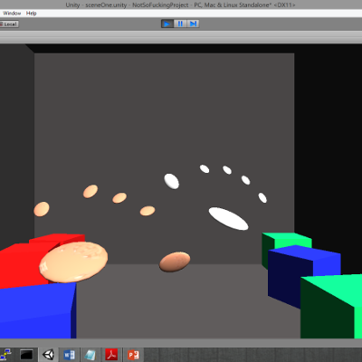
Hands without Borders is a shared virtual 3D space containing a set of models. Physically separated users can interact with these models as well as other visualized hands through the use of LEAP Motion sensors.
The project focuses on utilizing the hand data extracted from two LEAP Motion sensors. Each sensor connects to a Unity client which visualizes 3D models to display both local and remote hands. The hands can move freely inside an enclosed area containing several cubes, and interactions between the hands and the cubes are made possible through Unity’s physics engine.
-
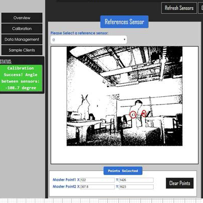
SoD is a toolkit that facilitates the exploration and development of multi-device interactions, applications and ubiquitous environments by using combinations of low-cost sensors to provide spatial awareness.
The toolkit offers three main features. (1) A “plug and play” architecture for seamless multi-sensor integration, allowing for novel explorations and ad-hoc setups of ubiquitous environments. (2) Client libraries that integrate natively with several major device and UI platforms. (3) Unique tools that allow designers to prototype interactions and ubiquitous environments without a need for people, sensors, rooms or devices.
-
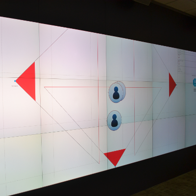
MSE-API allows developers to rapidly build and explore large multi-surface environments, applications and interactions using multiple Microsoft Kinects. It is, specifically, useful for use cases involving spatial queries and device-to-device communication.
In MSE-API, position data (collected using multiple Microsoft Kinect sensors) and orientation data (collected from individual mobile devices) is centralized into a single server called the Locator. The API provides convenience methods that allow developers to query the Locator based on spatial properties.
MSE-API also supports queries based on the orientation or field of view of a device. These queries can be used to detect which devices in the system fall within the field of view (as defined by the developer) of a given device.
-
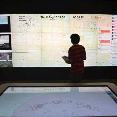
ePlan Multi-Surface is a prototype for an emergency operations center (EOC) of the future that harnesses a multi-surface environment to enable tablets, tabletops, and a large wall display to interact with one another to create a connected communication environment. It was developed in collaboration with a military and emergency response simulation software company, C4i Consultants Inc. (C4i), located in Calgary, Alberta, Canada.
-
-
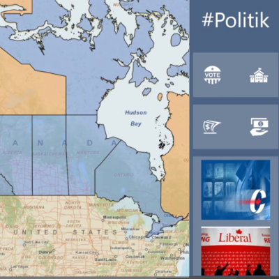
#Politik helps everyday citizens easily understand how well each major Canadian political party is performing - both nationally and locally. By helping people understand where their party needs their support most, #Politik makes sure that you get the most out of your volunteer hours and contributions.